Cadastral Survey
-

Fractional Survey
It is a measuring to register one lot registered in the cadastral record into more than two lots.
-

Borderline Restoration Survey
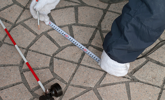
It refers to a survey conducted to mark the borderline registered in the cadastral record or check whether the borderline of the land site occupied is coincident.
-

Survey on Present State of Cadastral Record
It is a survey to measure present states of locations of ground structures, topographic features, and ground landmarks in real and compare with the borderlines registered on the drawings to check the locational connections.
-

Expected Cadastral Coordinate Mapping for House Development
It is to determine district borderline of house development site and calculate coordinates of project plan line and facility area.
-

Cadastral Confirmation Survey
It is to register land number, land category, area, borderline, or coordinates in the cadastral record newly as urban city development project gets completed.
-

Cadastral Record Re-check project
It is to correct inconsistences on the cadastral record which are different from actual land states. It is to convert cadastral records on the documents to digital ones for efficient national land management. At the same time, it is to protect people’s property rights.

