Public Survey
-

Survey on Present State of Terrain
It refers to observing the coordinates of terrain features using flat plate, total station, or GNSS gauger, etc. and illustrate the values, or create into the form of numerical data using information devices like computer, etc.
-
Before construction
It refers to measuring the height of terrain and location of obstructions to mark into the drawings. With the outcomes, plan levels and ground levels in the project district are designed. Longitudinal-cross-section drawings are made to calculate required capacity for constructing project district. It is to calculate construction amount.
After completion
[Act on the Geospatial Data Construction and Management] It is to measure and report variations in topographical features referring to the attached Table 3 of Article 11 (3) of the Enforcement Decree.
-
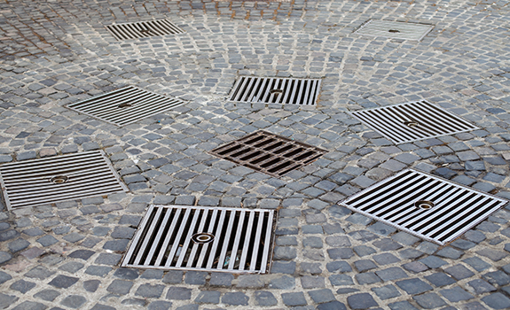
Survey on Present State of Obstructions
Based on the maps on present state of topographical features, it refers to the survey required to check up the obstructions and underground tracks in the project site and then mark them on the numerical topographic map to discuss the relocation and present state of the obstructions.
-
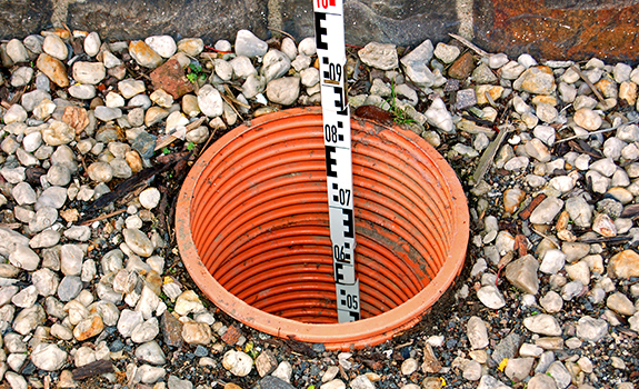
Underground Facility Survey
Upon completion of each project, it is survey to carry out when the management department of each institution requests the construction of underground facilities and road data following conditions of project approval. It is survey submitted to the government office to control.