Image Processing and Digital Map Production
-

GIS DB Construction
It is a complex geographic information system that collects topographical information such as general maps and related information such as underground facilities through satellite artificial intelligence, writes it on a computer, and makes it possible to search and analyze it.
-
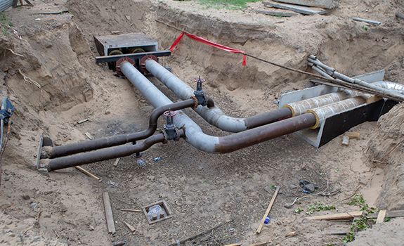
Water and Sewage Survey
For basic planning, surveying on the floor plan, topography, laying floor plan, longitudinal section, etc., sewage pipe installation survey, and sewer pipe drawings creation should be carried out.
-

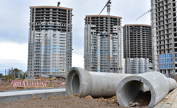
Road Facility Survey
It is a survey to get data required in the process of selecting suitable locations for various facilities, installation, construction, completion, transformation, etc. It includes measuring underground pipelines, roads, disembarkation, dams, bridges, airfields, structures, etc.
-
Underground Facility Survey
Upon completion of each project, when the management department of each institution requests underground facilities construction and road data under the conditions of project execution approval, the survey is carried out by converting the alignment of road and obstructions on the road into data not only the locations but also the attribute information. It is a survey submitted to each government office for control.