Unmanned Aerial Survey
-
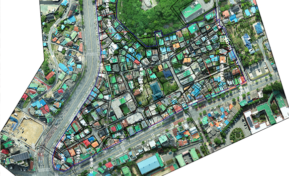
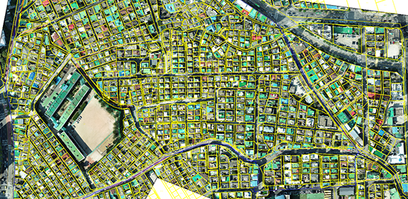
Aerial Mapping and Digital Topographic Survey
It is a process of matching multiple photos taken by drone into single photo. The outcome is Orthophoto. With this Orthophoto, 3D and 2D data can be collected. Digital Topographic Survey and all the elements taken on the photo can be used for the survery.
-
-
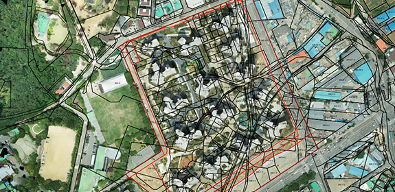
Volume Survey
Volumetric survey is to calculate the volume of specific object and is used to calculate earth-volume or water storage capacity.
-
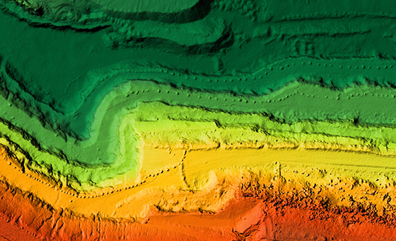
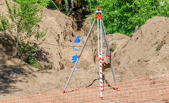
Digital Elevation Model (DSM, DTM)
It refers to the surface model created in its own form using numerical surface data or irregular triangular network data. The production method includes aerial laser survey method, contour layer method on the numerical map, image matching method, site research outcomes, etc.